IIT Madras Develops New Technology to Map Indoor Environments for Disaster Relief Operations
IIT Madras has developed a new technology designed to help map indoor environments, which could be extremely useful during disaster relief operations. This technology aims to improve the way rescue teams navigate and respond in buildings after disasters like earthquakes, fires, or floods.
During disasters, rescue teams often face challenges when trying to locate survivors or assess the damage inside buildings. The technology developed by IIT Madras aims to solve these problems by creating detailed maps of indoor spaces, allowing rescue teams to move quickly and efficiently. The maps will give them a clear idea of the layout of a building, helping them find survivors and avoid hazards, such as collapsed walls or blocked paths.
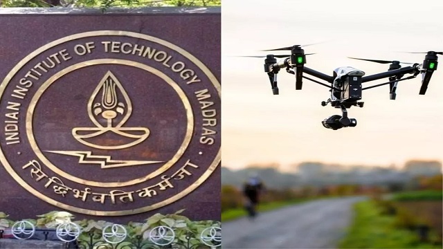
The technology works by using advanced sensors to capture data about the indoor environment. These sensors collect information about the size, shape, and structure of rooms, hallways, and floors. The system then processes this data to create an accurate 3D map of the building. This map can be accessed in real-time by rescue teams, giving them valuable information as they work to save lives and assess the damage.
One of the key benefits of this technology is that it helps improve safety during rescue missions. By providing a clear understanding of the building’s layout, it reduces the risk of accidents and allows rescue teams to act faster. It also helps them plan their actions more effectively, especially when they have limited time or resources.
The new technology is expected to have a significant impact on disaster management. It could be used in various types of emergencies, such as building collapses, fires, or even during medical emergencies in large buildings like hospitals. The technology will not only help rescue teams but also improve the coordination between different agencies involved in disaster relief operations.
In conclusion, IIT Madras has created a powerful tool that can make disaster relief operations safer and more efficient. By mapping indoor environments in real-time, this technology will help rescue teams respond faster, locate survivors more easily, and plan their actions more effectively, ultimately saving more lives during disasters.