Chennai Water and Sewer Infrastructure Mapping with GIS to be Completed by November
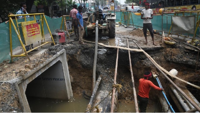
The Chennai Metropolitan Water Supply and Sewerage Board (CMWSSB) is nearing completion of its project to map the city’s water and sewer infrastructure using a geographic information system (GIS) database and geotagging technology. The mapping, conducted by consultant Darashaw and Company, is being carried out street-wise to assist with new construction and repair work, aiming to prevent damages to the water supply and sewer network at the zone level.
The project, funded under the Tamil Nadu Urban Flagship Investment Programme by the Asian Development Bank, has covered 3,431 km of water lines and 2,753 km of sewer lines, and 80,120 manholes will be geotagged. The CMWSSB hopes the GIS maps will aid in identifying and resolving water supply and sewer block issues efficiently.


